
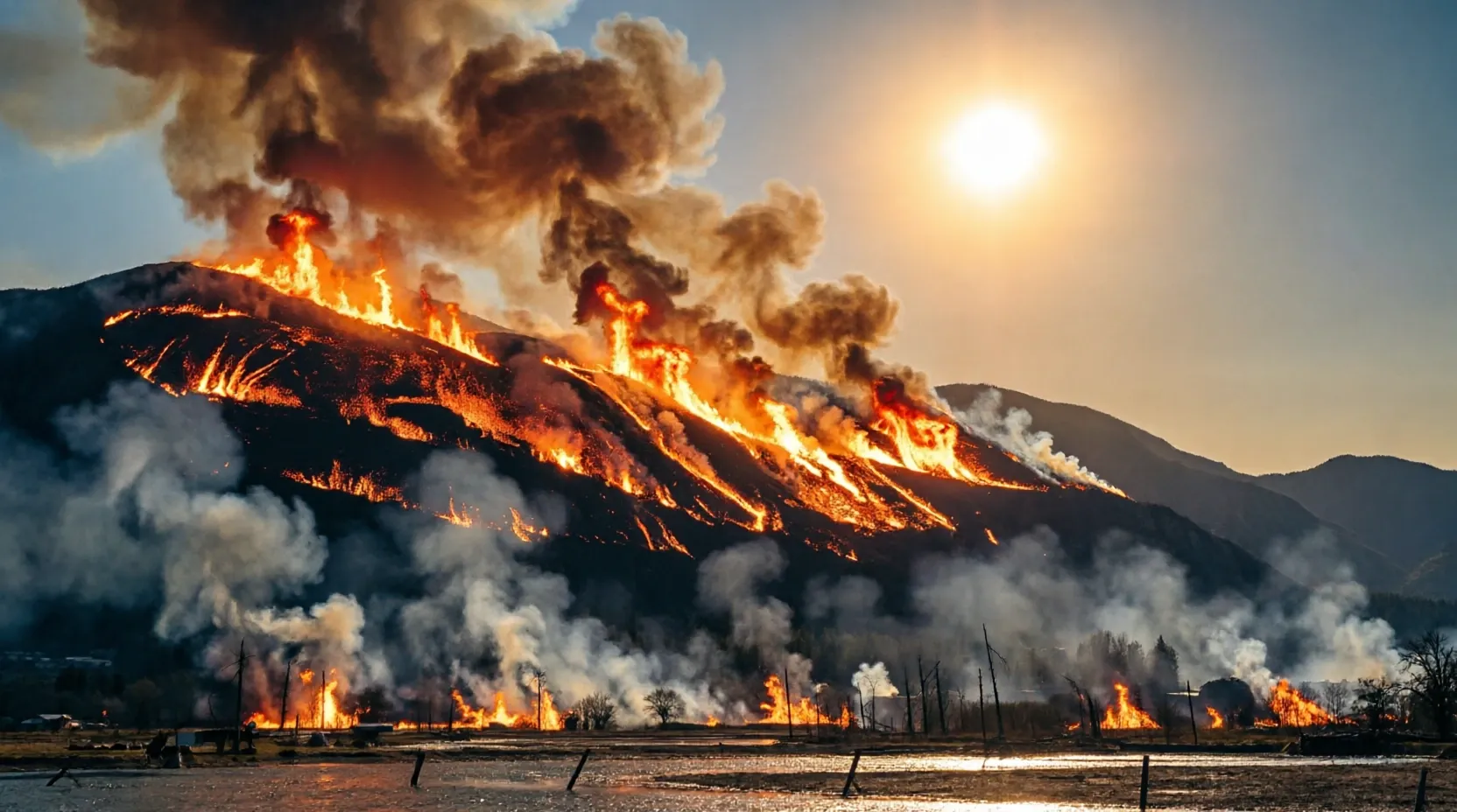
Delos Insurance Solutions, a science-driven property insurance MGA, has released a comprehensive report analyzing the recent surge of wildfires across the Western United States. The report identifies critical environmental drivers behind significant incidents in Colorado, Utah, and Arizona, including the Cottonwood fire, which stands as the largest wildfire loss event in Utah's history. For financial infrastructure and insurance professionals, the findings highlight the increasing necessity of high-fidelity predictive modeling to manage catastrophic risk and maintain insurance accessibility in volatile climate environments.
Environmental Drivers of Western Wildfire Spates
The recent wildfire activity, including the Aspen Acres, Babylon, and Beehive fires, is driven by a combination of extreme meteorological and ecological factors. A primary catalyst is the persistent drought coupled with a failed snowpack; notably, Utah ended March with only 50% of its 1991-2020 median snow water equivalent. This deficiency caused land to lose seasonal moisture weeks ahead of schedule. Furthermore, the Energy Release Component (ERC)—a daily index of fuel dryness—reached the 97th to 99.5th percentile band across the Great Basin in late June. These conditions were exacerbated by "Red Flag Warning" events, where wind speeds hit 50mph and relative humidity plummeted to between 3% and 10%. Such environments produce fires characterized by rapid spread, active torching, and long-range ember spotting, often rendering traditional suppression activities ineffective. The Cottonwood fire analysis specifically cited abnormally dry Juniper trees as a significant contributing factor to the event's severity.
Delos Wildfire Hazard Model Predictive Accuracy
The Delos proprietary wildfire hazard model has demonstrated continued reliability by successfully predicting the scope of these latest fires, mirroring its performance during all major California fires since 2017. According to Delos Wildfire Scientist Scott Ritter, the model integrates diverse inputs, including vegetation growth, topography, weather patterns, and fire suppression resources. Crucially, the model's utility extends beyond identifying high-risk zones; it also accurately pinpoints areas of lower risk. For example, the model correctly predicted that neighboring towns such as Beaver, Circleville, and Marysvale would face significantly lower risk during the Cottonwood fire. This ability to differentiate risk levels is vital for the insurance industry, as it can improve insurance accessibility in specific regions by providing more granular data. The report suggests that when sustained wind events align with long-term drought and delayed monsoon patterns, the risk of massive outbreaks increases significantly.
Key Takeaways
- Utah's snow water equivalent ended March at just 50% of the 1991-2020 median, accelerating fuel moisture loss.
- The Cottonwood fire is identified as the largest wildfire loss event in the history of Utah.
- Delos' hazard model has successfully predicted the scope of all major California wildfires since 2017.
FinanceInsyte's Take
In our view, the Delos report underscores a critical shift in how the insurance industry must approach catastrophic risk management. As extreme weather patterns—such as the 97th percentile ERC values and 50mph wind events—become more frequent, reliance on broad regional assessments is no longer sufficient. The success of the Delos model in both predicting high-impact fires and identifying low-risk "safe zones" signals that granular, science-driven data is the primary lever for maintaining market liquidity. For insurers and reinsurers, the ability to pinpoint lower-risk municipalities like Marysvale is essential for preventing total market withdrawal from fire-prone states, ultimately supporting long-term regional economic stability.
Source: PRNewswire